Seismic Processing Software
High-Quality Reflection Waves
from Ambient Noise
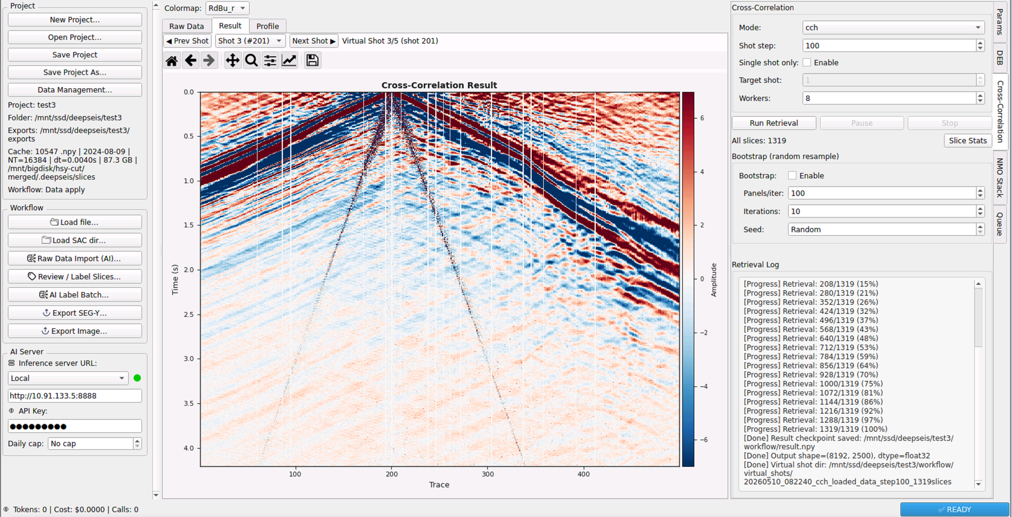
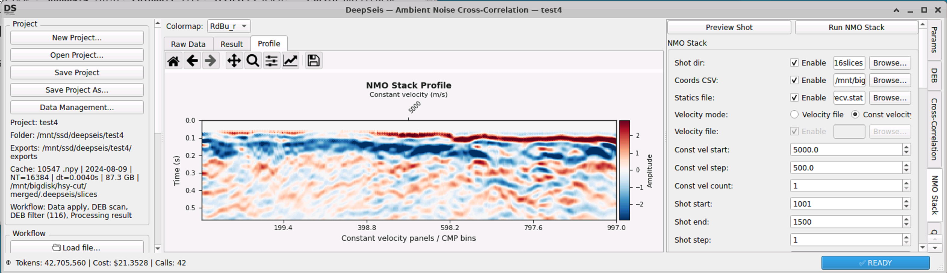
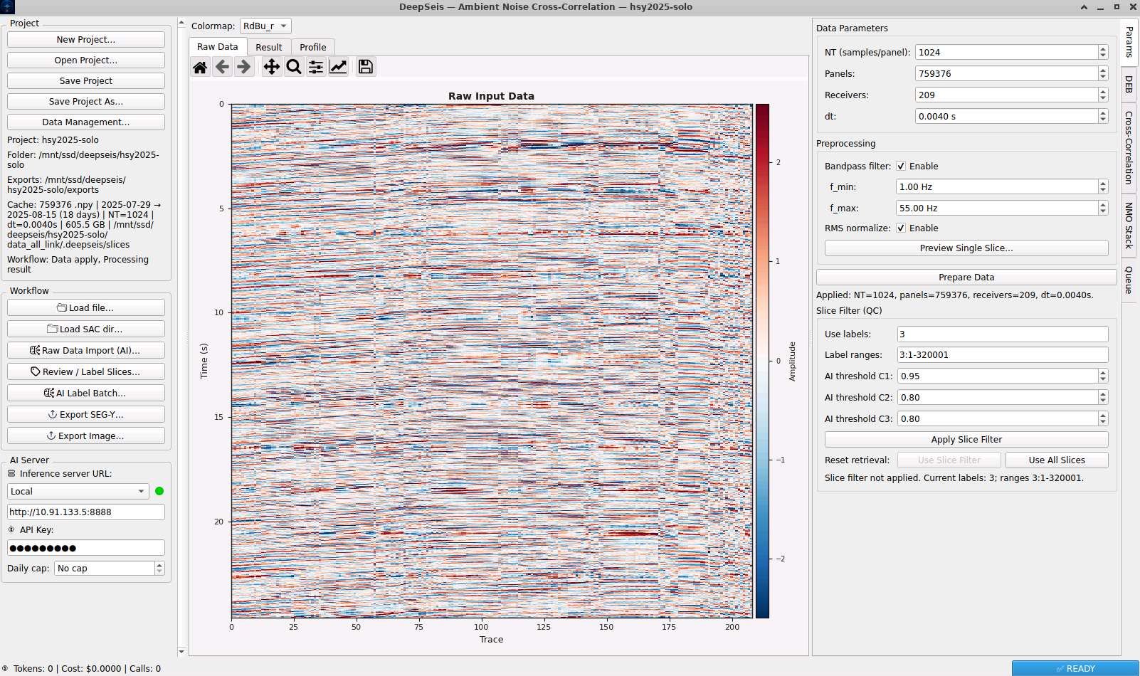
Extract high-quality surface waves and reflection waves from passive-source recordings. The same workflow images everything from near-surface structures (upper crust) to lithospheric-scale features (Moho, LAB) — low cost, high reliability, zero active source required.
2 Modes
Surface Wave + Reflection
Lithosphere
Deep Imaging Depth
Low Cost
Passive-Source Only